In the fast-paced and ever-evolving transportation industry, it is crucial to have accurate and reliable data for the planning, construction, and maintenance of transport infrastructure. Our services are designed to equip engineers, planners, and stakeholders with the precise underground intelligence required to make informed decisions.

Revolutionizing Transportation Infrastructure with 3D Underground Mapping
Transportation infrastructure is the backbone of modern society, facilitating the movement of people and goods over vast distances. With increasing demands on infrastructure networks, the need for precise underground mapping has never been more critical. Our 3D Underground Mapping services use cutting-edge technology to deliver comprehensive and accurate subsurface maps, essential for the successful execution of transportation projects.
Why Choose 3D Underground Mapping?
- Precision and Accuracy: Our 3D mapping technology provides highly precise and detailed visuals of subsurface conditions. This precision minimizes the risk of unexpected utility strikes during construction, reducing costly delays and project reroutes.
- Comprehensive Visualization: We offer clear and comprehensive visualizations of underground conditions, enabling stakeholders to make informed decisions with confidence. Our maps can uncover hidden infrastructure, geological formations, and potential obstructions.
- Enhanced Safety: By accurately mapping underground utilities and other structures, we enhance safety for construction crews and the public. Knowing what lies beneath reduces the risk associated with excavation and drilling.
- Cost Efficiency: With accurate data at your disposal, budgeting becomes more straightforward and reliable. By identifying potential issues early in the planning stages, our 3D mapping can lead to significant cost savings.
Ground Penetrating Radar (GPR) Utility Surveys: A Closer Look
In addition to 3D underground mapping, our Ground Penetrating Radar (GPR) utility surveys play a key role in the transportation sector. GPR technology uses electromagnetic waves to detect objects, changes in material, and voids beneath the surface. This non-intrusive method ensures minimal disruption to existing infrastructure.
Advantages of GPR Utility Surveys
- Non-Destructive Testing (NDT): GPR is a non-destructive method, allowing surveys to be conducted without causing damage to existing structures. This is especially useful in densely populated urban areas where minimal disruption is paramount.
- Versatility: GPR can be used to detect a wide range of underground features, including utilities such as water pipes, electrical conduits, and sewer lines. It’s equally effective in various environments, from asphalt to concrete and soil.
- Real-Time Results: The technology offers real-time results, which means that decisions can be made quickly during fieldwork, improving operational efficiency.
- Depth Penetration: Depending on the frequency of the radar, GPR can penetrate several meters below the surface, providing a comprehensive view of the subsurface.
Applications in the Transportation Industry
Our 3D Underground Mapping and GPR Utility Surveys are pivotal for numerous transportation projects, including:
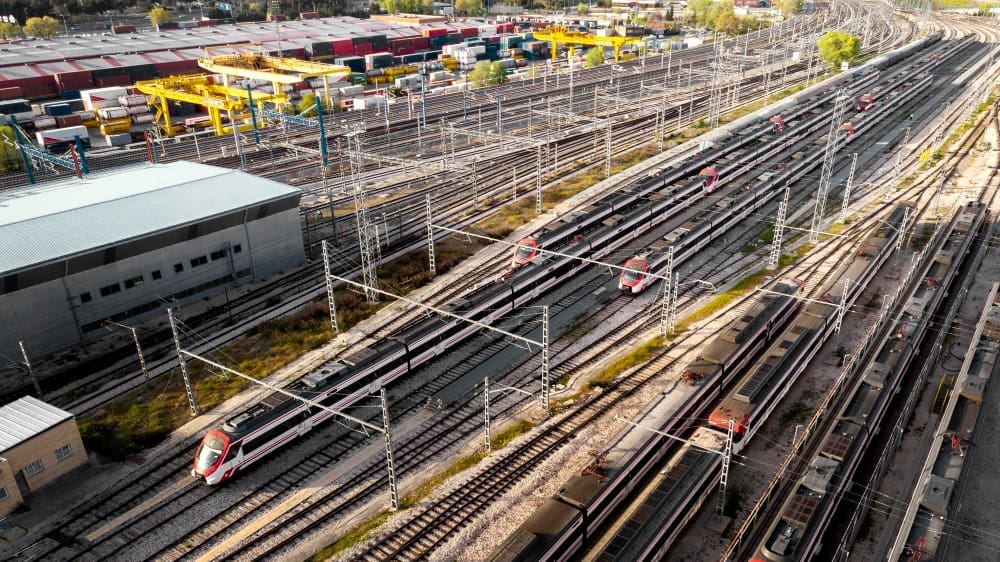
- Railway Systems: Ensuring the safe and efficient installation and maintenance of rail infrastructure by detecting underground utilities and potential geological issues.
- Highways and Roads: Offering insights into the layout of utilities and potential subsurface conditions that could affect road construction and maintenance.
- Airports: Providing essential data for the safe expansion and maintenance of airport facilities by mapping utilities and detecting possible obstructions.
- Bridges and Tunnels: Assisting in the planning and construction phases by detecting subsurface anomalies and ensuring foundational integrity.
The PCM CLOUD by Procimec Engineer Advantage
At PCM CLOUD by Procimec Engineer, we pride ourselves on delivering exceptional service tailored to the unique needs of the transportation industry. Our team of experienced engineers and surveyors work closely with clients to understand their specific requirements and challenges.
Our Commitment
- Customization: We customize our services to fit the specific needs of your project, providing solutions that align with your objectives and constraints.
- Advanced Technology: By leveraging the latest in mapping and GPR technology, we ensure that you receive the most accurate and up-to-date data available.
- Expertise: Our team’s extensive expertise in the field guarantees that you receive comprehensive insights, helping you mitigate risks and capitalize on opportunities.
- Sustainability: We are committed to sustainable practices, employing eco-friendly methods in all our surveying and mapping projects.
Partner with Us
Choosing PCM CLOUD by Procimec Engineer’s services means investing in the reliability, safety, and success of your transportation project. With our state-of-the-art technology and seasoned experts, we are equipped to provide you with the underground intelligence that is crucial for groundbreaking achievements in the transportation sector.
For more information or to discuss how we can support your next project, please contact our team today. Let PCM CLOUD by Procimec Engineer be your trusted partner in navigating the complexities beneath the surface and paving the way for innovation and progress in transportation infrastructure.

