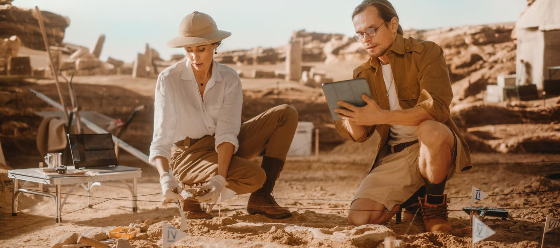
Archaeology has captivated the human imagination for centuries, revealing stories of past civilizations buried beneath layers of earth. Yet, the image of archaeologists painstakingly brushing dust off artifacts often overshadows the sophisticated technologies shaping modern-day explorations. Enter Ground Penetrating Radar (GPR)—a game-changer in the archaeological world. With a market expected to grow at a compound annual growth rate of 8.6% from 2021 to 2026, GPR is drastically altering the landscape of archaeological discoveries.
The Rise of Ground Penetrating Radar
Ground Penetrating Radar isn’t a brand-new technology. It traces its roots back to the early 20th century when researchers first experimented with radio waves for subsurface exploration. Initially applied in geology and military fields, GPR has evolved significantly, especially with advancements in computational power and signal processing.
GPR’s primary allure in archaeology stems from its non-invasive nature. While traditional excavation methods risk damaging valuable artifacts, GPR provides a safer alternative, allowing researchers to peer beneath the surface without disturbing the soil. Consequently, archaeologists can now identify sites of interest more efficiently, focusing resources on areas with the highest potential returns.
How GPR Works
At its core, GPR operates by transmitting high-frequency radio waves into the ground. When these waves encounter different subsurface materials—such as soil layers, rocks, or buried objects—they reflect back to the surface, producing echoes that specialized equipment records.
These echoes help form a picture of the subsurface environment. Data analysis software then processes these images, transforming them into detailed maps that highlight potential archaeological sites. However, the effectiveness of GPR depends on several factors, including the conductivity and moisture content of the ground.

Navigating Through Complex Terrains
One of GPR’s most significant advantages lies in its ability to navigate complex terrains. Archaeological sites are often located in challenging environments—dense forests, rugged landscapes, or urban areas brimming with obstacles. In such scenarios, traditional excavation methods often fall short.
GPR excels in these conditions. Its equipment is portable and adaptable, capable of operating in diverse environments. This versatility opens previously inaccessible areas to archaeological inquiry, significantly expanding the scope and reach of research efforts.
Precision and Depth: The Dual Advantage
Another standout feature of GPR is its precision. With the ability to detect minute differences in material composition, GPR identifies artifacts and structures with remarkable accuracy. This precision is crucial in archaeology, where the difference between a significant find and a mundane object can be minuscule.
Moreover, GPR can operate at various depths. By adjusting the frequency of emitted radio waves, archaeologists can explore different depths of the subsurface, from shallow layers to deeper stratifications. Such flexibility allows for a comprehensive understanding of archaeological sites, both horizontally and vertically.
Case Studies: GPR in Action
The impact of GPR in archaeology is best demonstrated through case studies. Consider the ancient city of Petra in Jordan. This UNESCO World Heritage site has long attracted archaeologists; yet, much of its history remained buried. Using GPR, researchers uncovered previously hidden structures, offering new insights into Petra’s development over centuries.
Similarly, in Central America, archaeologists employed GPR to map extensive networks of pre-Columbian cities beneath dense rainforests. These discoveries redefine our understanding of ancient Mesoamerican civilizations, revealing complex societies with advanced infrastructure.

The Role of Data Interpretation
While the technology behind GPR is impressive, its true potential is realized through data interpretation. The radar images generated require careful analysis, a task requiring expertise in both engineering and archaeology.
Advanced software applications play a crucial role here. Machine learning algorithms, for instance, assist in identifying patterns in radar data, drastically reducing the time required for analysis. Consequently, archaeologists can make informed decisions quickly, accelerating the discovery process.
Overcoming Limitations
Despite its many advantages, GPR is not without limitations. For instance, highly conductive soils, such as those rich in clay or saltwater, can attenuate radar signals, making it challenging to obtain clear images.
Innovations continue to address these challenges. Researchers are developing new techniques to enhance signal penetration and clarity, pushing the boundaries of what GPR can achieve. Ongoing improvements in hardware and software are poised to increase GPR’s applicability across diverse archaeological contexts.
Environmental Considerations
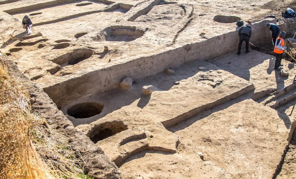
In an age where sustainability is paramount, GPR stands out for its minimal environmental impact. Traditional excavation can disrupt ecosystems, harm local flora and fauna, and permanently alter landscapes.
GPR offers a less invasive alternative, enabling archaeologists to study sites with minimal disturbance. This approach aligns with contemporary conservation efforts, allowing for responsible exploration of our shared heritage.
Collaboration and Cross-Disciplinary Efforts
The successful application of GPR in archaeology often hinges on collaboration. Engineers, geophysicists, geologists, and archaeologists must work in tandem, combining their expertise to extract meaningful insights from GPR data.
Such cross-disciplinary efforts are becoming increasingly common, leading to a more integrated approach to archaeological research. Universities and research institutions worldwide are embracing these collaborations, fostering innovations that promise to make future discoveries even more profound.
The Future of Ground Penetrating Radar
The future of GPR in archaeology looks promising. As technology advances, GPR systems are becoming more accessible and affordable, expanding their use globally. Future developments may include enhanced imaging capabilities and greater integration with other geophysical methods.
Moreover, as digital platforms evolve, the integration of GPR data with Geographic Information Systems (GIS) will further refine the precision and accessibility of archaeological data. These trends suggest a future where GPR becomes a staple of archaeological research, offering unprecedented insights into our past.
All in All
Ground Penetrating Radar is revolutionizing archaeological practice, offering a glimpse into the hidden stories of ancient civilizations with precision and care. As archaeologists continue to unearth the past, GPR stands as a testament to how engineering innovation shapes cultural exploration. For those interested in harnessing the power of GPR, PCM CLOUD by Procimec Engineering leads the way in providing cutting-edge services throughout Latin and North America. Their expertise can transform archaeological dreams into reality—contact them today to unlock the secrets beneath your feet.
Archaeological Discoveries Engineering Innovation Ground Penetrating Radar Subsurface Exploration Technology in Archaeology
Last modified: October 20, 2024
