Imagine navigating the intricate web of global communications without a reliable map. Traditionally, telecommunication infrastructure development faced challenges due to outdated, two-dimensional planning tools. However, as digital transformation accelerates and global mobile traffic continues to grow exponentially, the quest for more efficient and precise tools has never been more urgent. Enter 3D mapping—an innovative technology that is redefining how we design, build, and maintain telecommunications infrastructure. Industry reports indicate that the global 3D mapping and modeling market is projected to reach $12.5 billion by 2026, emphasizing its burgeoning significance. In this post, we will explore the revolutionary impact of 3D mapping on telecommunications, detailing its technology, benefits, and future prospects.
1. Revolutionizing Underground Network Design with 3D Mapping
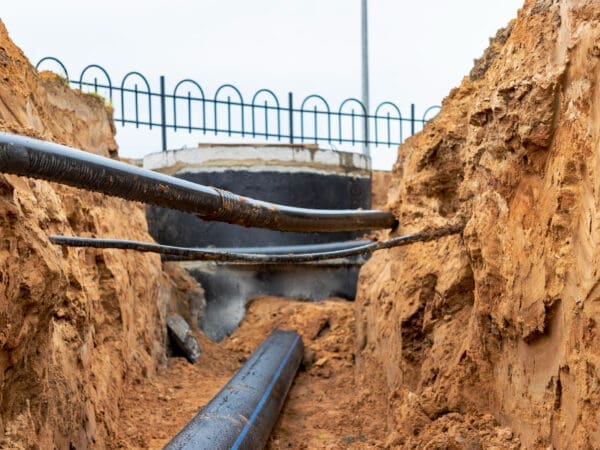
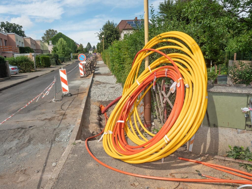
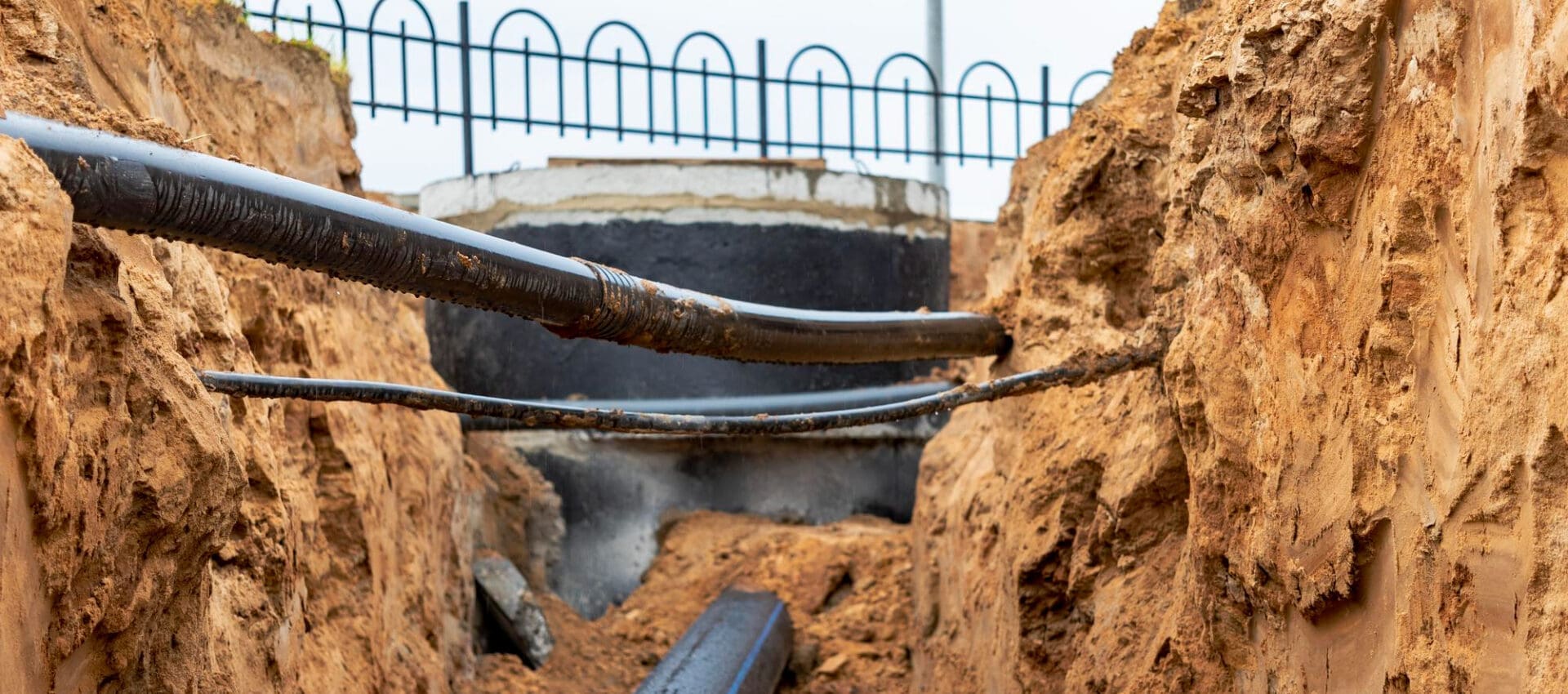
Designing underground networks presents unique challenges, given the complexity of subsurface environments. 3D mapping transforms how telecommunication engineers approach the layout of underground fiber optic networks. This technology provides a detailed view of the subterranean landscape, identifying existing utilities, geological formations, and potential obstacles.
With 3D mapping, engineers can plot the most efficient routes for laying fiber optic cables, minimizing disruption to existing infrastructure. These detailed maps also enable the design of networks that avoid natural barriers, such as rocky outcrops or water tables, ultimately reducing project timelines and costs.
2. Enhancing Safety and Efficiency in Underground Installation
The installation of underground telecommunications infrastructure can be hazardous without adequate planning and precision. 3D mapping enhances safety by providing comprehensive, accurate depictions of the underground environment, highlighting potential hazards before the work begins.
These maps guide construction teams in safely navigating complex subsurface settings, reducing the risk of accidental damage to existing utilities. Furthermore, by streamlining installation processes, 3D mapping minimizes labor costs and improves efficiency, allowing telecom companies to deploy networks swiftly and safely.
3. Future-Proofing Underground Infrastructure with 3D Mapping
As the demand for high-speed internet grows, ensuring that underground fiber optic networks are durable and adaptable is crucial. 3D mapping plays an essential role in future-proofing these networks, offering insights into potential areas of expansion or upgrade.
By leveraging predictive analytics, telecom providers can use 3D maps to anticipate future capacity needs and make informed decisions about network scalability. This forward-thinking approach supports long-term planning, ensuring that underground infrastructures can accommodate evolving technological demands without requiring extensive alterations.

4. Unveiling the Essentials of 3D Mapping Technology
3D mapping technology employs advanced algorithms and data collection techniques to create three-dimensional representations of real-world environments. This sophisticated approach integrates various data points collected from sensors, satellite imagery, aerial photography, and ground surveys. As the technology evolves, it continuously enhances its accuracy and efficiency, making it indispensable to multiple industries, particularly telecommunications.
Providers use laser scanning, photogrammetry, and geographic information systems (GIS) to collect and interpret data. These tools capture intricate details of the environment, ensuring that the resulting maps reflect real-world complexities. Telecommunications companies, therefore, gain invaluable insights into landscape dynamics, enabling them to make informed decisions regarding infrastructure deployment.
5. Transitioning from 2D to 3D: Overcoming Traditional Challenges
For decades, telecommunications relied on two-dimensional maps that often failed to capture the nuances of physical environments. Such maps could not adequately account for elevation changes, major obstacles, or infrastructure density. This inadequacy often led to inefficiencies and increased costs during network deployment and maintenance.
3D mapping overcomes these limitations by offering a more comprehensive view of the terrain. It allows engineers to consider elevation, topography, and other critical factors during planning, minimizing unforeseen challenges. Consequently, companies can execute projects more smoothly, ensuring optimal resource allocation and reducing time-to-market.
6. Enhancing Network Planning and Deployment
Effective network planning demands a deep understanding of the terrain, population density, and existing infrastructure. With 3D mapping, telecom companies can simulate various deployment scenarios before physically implementing solutions. This predictive capability enhances strategic planning, reducing the risk of costly errors.
Moreover, 3D mapping facilitates the identification of the most suitable tower locations, factoring in signal propagation and interference. By leveraging this technology, telecom providers can optimize network coverage, ensuring robust signal availability and superior service quality across diverse environments.
7. Boosting Infrastructure Maintenance and Management
Infrastructure maintenance is crucial for sustaining high-quality telecommunications services. Traditionally, identifying faults or performing maintenance in hard-to-reach areas posed significant challenges. However, 3D mapping offers a solution by providing real-time monitoring and detailed visualizations, making it easier to identify and address issues.
By employing drones and LiDAR (Light Detection and Ranging) technology, companies can quickly detect structural weaknesses or environmental interferences. As a result, maintenance teams can preemptively address problems, minimizing downtime and enhancing service reliability.
8. Enhancing Security and Risk Management
Telecommunications networks are vital to national infrastructure and require robust security measures. With 3D mapping, companies gain enhanced situational awareness, enabling them to identify potential security threats and vulnerabilities.
For instance, these maps can pinpoint unauthorized intrusions or environmental risks, such as flooding or landslides, that may jeopardize infrastructure. By integrating 3D mapping with other technologies like AI and IoT, telecom providers can develop a proactive approach to security, safeguarding their assets and ensuring uninterrupted service.
9. Facilitating Smart City Integration
As urban areas evolve into smart cities, telecommunications infrastructure must adapt accordingly. 3D mapping plays a fundamental role in facilitating this transition, providing a foundational layer of spatial data that supports the complex ecosystems of smart cities.
These detailed maps aid in planning and integrating multiple services, such as traffic management, energy distribution, and public safety. Consequently, telecommunications companies are positioned to support the seamless interaction between various city components, ultimately enhancing the overall quality of urban life.
10. Supporting the Broadband Expansion and 5G Rollout
With the global push for broadband expansion and the rollout of 5G technology, telecommunications companies face unprecedented demands for speed and efficiency. 3D mapping supports these initiatives by offering a granular view of coverage areas, ensuring optimal network design and deployment.
By analyzing elevation and building density, companies can strategically place network components to maximize coverage and capacity. This detailed planning directly contributes to faster, more reliable broadband services and a successful 5G rollout, empowering businesses and consumers alike.
11. Streamlining Regulatory Compliance
Telecommunications companies must navigate a complex web of regulatory requirements to deploy and manage their infrastructure. 3D mapping facilitates compliance by providing comprehensive visual data, ensuring that all network components adhere to regulatory standards.
Through accurate modeling, companies can demonstrate their infrastructure’s compliance with local zoning laws, environmental regulations, and safety standards. This proactive approach not only streamlines the approval process but also reduces the risk of fines or project delays.
12. Advancing Environmental Sustainability
As the world focuses on sustainability, telecommunications companies seek eco-friendly solutions to reduce their environmental impact. 3D mapping supports this goal by enabling precision in resource allocation and project execution.
By accurately assessing environmental features, companies can minimize land disturbances and optimize resource use. Furthermore, the technology enables planners to design networks that avoid sensitive ecological areas, ensuring sustainable development practices.
13. Exploring the Future of 3D Mapping in Telecommunications
The future of 3D mapping in telecommunications is bright, driven by continuous advancements in data collection and processing technologies. As machine learning and AI algorithms become more sophisticated, 3D maps will become even more accurate and predictive.
These advancements will empower telecom companies to innovate further, exploring new service delivery models and enhancing customer experiences. By harnessing the full potential of 3D mapping, the telecommunications industry will continue to evolve, shaping the digital landscape of tomorrow.
Aligning with Industry Leaders
In conclusion, the integration of 3D mapping in telecommunications infrastructure is revolutionizing the industry, offering unparalleled insights and efficiencies. As a leader in this field, PCM CLOUD by Procimec Engineer stands at the forefront of this technological transformation. Serving Latin and North America, PCM CLOUD invites you to explore their comprehensive services, ensuring your telecommunications projects harness the full potential of 3D mapping. Contact PCM CLOUD today to lead the digital future with precision and innovation.
Last modified: October 25, 2024


